Trail Explorer was created as a new way to connect public education with the built environment. Developed for the Central Texas Regional Mobility Authority and expanded over time through multiple project phases, the app brings interpretive content to life across 45SW, 183A, and 183 S, helping users explore the natural, cultural, and historical context surrounding these corridors in a more engaging way.
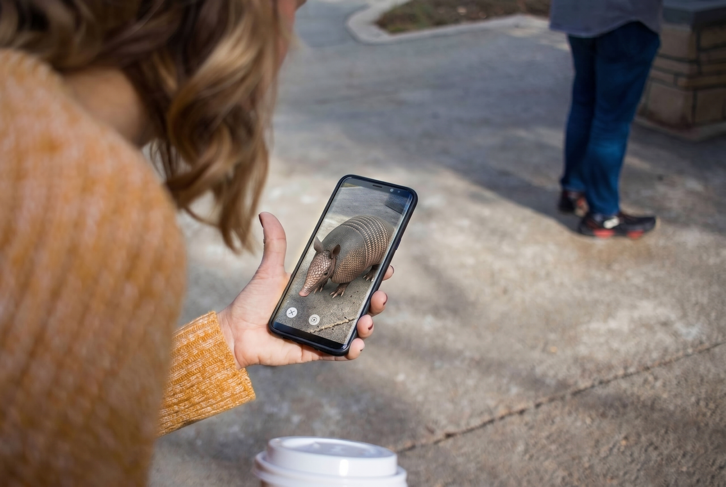
CM&D designed and developed Trail Explorer as a cross-platform augmented reality mobile app available on both iOS and Android. The experience combines marker-based AR, geolocation technology, and interactive mapping to guide users through a wide range of content, from wildlife and environmental sustainability to broader stories tied to the region’s history.
Today, the app includes more than 40 individual augmented reality experiences and continues to serve as a compelling example of how immersive technology can support public education at scale. By creating an experience people genuinely want to use, the project has delivered long-term value and helped justify continued investment over time.
The Goal:
Create a mobile experience that makes public education more engaging, accessible, and memorable for people exploring these trails and highway corridors. The broader goal was to use immersive technology to turn infrastructure, environment, and history into an experience that delivers lasting public value.
Our Approach:
CM&D approached the project with a focus on usability, discoverability, and long-term engagement. The experience needed to feel intuitive for a broad public audience while supporting a rich mix of educational content across multiple trail and corridor environments. By combining marker-based AR with geolocation features, bilingual support, and interactive media, we created an experience that bridges the physical and digital worlds in a way that feels natural, useful, and worth returning to.
Key elements of the project included: